🌲
Forest Mapping
Create up-to-date orthomosaics, stand boundaries, terrain layers, and overview maps for planning, documentation, and GIS workflows.
- Orthomosaics and base maps
- Stand and area overview
- GIS-ready exports
Forest Mapping & Health Analysis
Drone-based forest intelligence for mapping, health assessment, tree counting, timber estimation, and species identification.
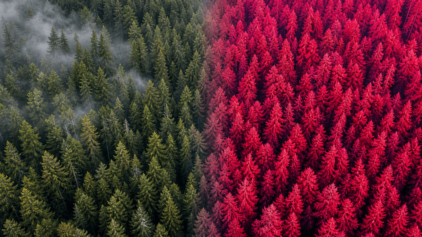
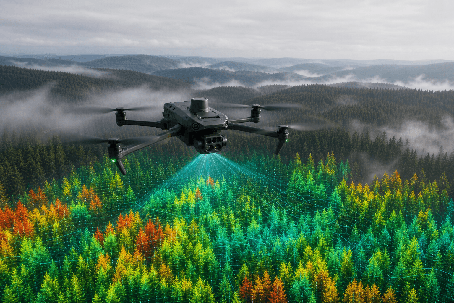
We combine high-resolution drone imagery, multispectral sensing, and machine-learning analytics to turn forest areas into actionable maps, assessments, and decision-ready outputs for planning, monitoring, and documentation.
We support legally compliant drone operations for complex projects, including missions beyond visual line of sight (BVLOS) where approvals and mission conditions allow. Our operational planning follows required German and EU regulatory frameworks, creating a reliable foundation for efficient coverage of larger forest areas and professional project execution.
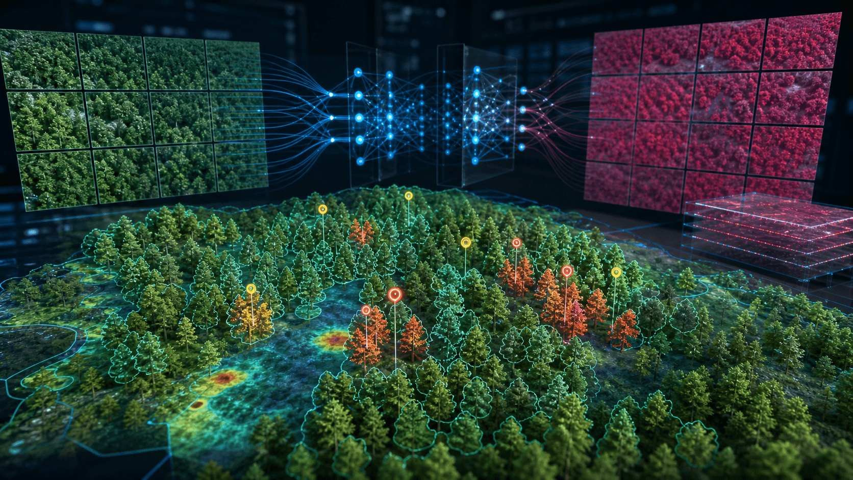
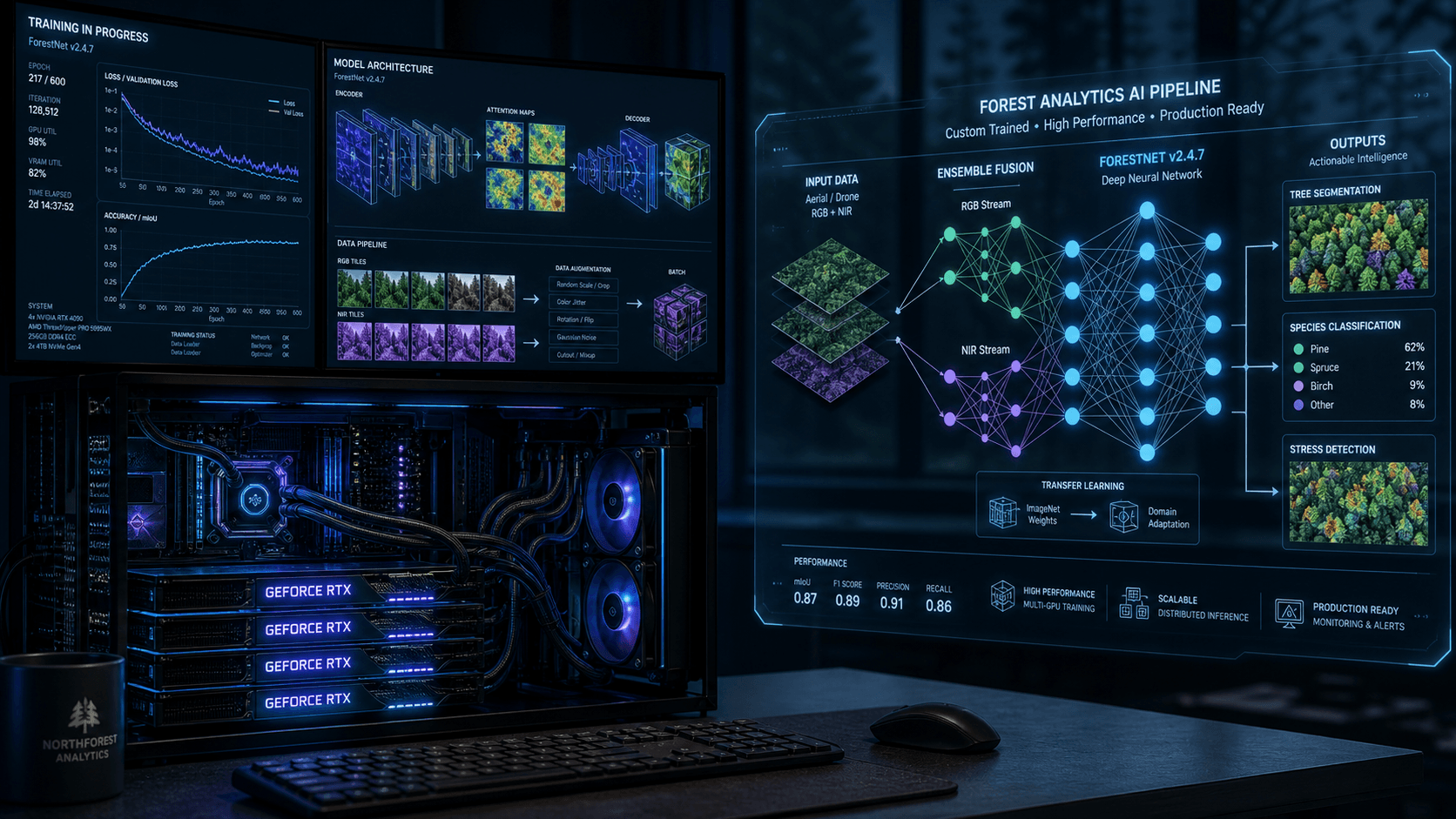
The core of our service is an internal machine-learning analytics platform that processes aerial, RGB, and multispectral data into practical forestry outputs. High-performance GPU and CPU infrastructure supports large datasets, model training, repeatable analysis workflows, and project-specific evaluation pipelines.
We focus on forestry workflows where aerial data can improve visibility, reduce manual survey effort, and support better operational decisions.
Create up-to-date orthomosaics, stand boundaries, terrain layers, and overview maps for planning, documentation, and GIS workflows.
Detect stress patterns, damaged zones, and unusual vegetation behavior earlier with RGB and multispectral data analysis.
Support inventory workflows with tree counts, canopy-based analysis, and project-based timber volume estimation.
Support species differentiation using crown structure, color information, and multispectral signatures where conditions allow.
Deliverables are tailored to project scope and can be prepared for reporting, mapping, internal analysis, or GIS integration.
Whether you need mapping, health analysis, counting, classification, or a custom analytics workflow, we can build a project setup around your forest area and objectives.
Contact us